Showing posts with label Snow. Show all posts

Sunday, September 30, 2012

Mt. Shasta - Magnificent Views (Plus Castle Crags)

A continuation of my trip north:


What's that in the distance?
 A few more miles up and it is much closer
 Oh, there it is!
 Mt. Shasta, the second southern-most cascade volcano (Lassen is the furthest south). Still covered in glaciers in late August
 The freeway goes by Castle Crags State Park, where a granitic extrusion created these immense, complicated cliffs popular with climbers
 This is a spatter cone volcano, likely very dormant. They have ski runs on another one of these closer to the mountain
 I went up a little further to hang out in Weed, Ca. It is just too funny of a name, and if you see below, they have a 'Cougar Cafe', I'm not sure if this is a retiree community...
 The forest ends at the tree line, about half way up the slopes
 And it creates its own weather. The clouds form and are shaped by the mountain, in this case, they arch above/around the summit
 From my camping spot
 At sunset it went crazy pretty
 These colors don't do it justice, it turned pink and then purple
 Almost gone
 Bye bye sun
 The morning brought very cool cloud formations


 One of the volcanic remnants, I liked the red dirt on top
The summit, also with a touch of red
 Wispy clouds go by
 So etherial on the slopes
 More mountain cloud formations, see them dome over the promontories
 A mini volcano in the sky
 This is the crags from about the tree line
 It just went forever with the mist of forest fires all around

Sunday, June 24, 2012

East Sierra Hot Springs

I went out to Grover Hot Springs State Park a few weeks ago and was exposed to a whole new part of California. South of Tahoe at the headwaters of the Carson river, Hot Springs Creek runs through Markleeville in Alpine County.

Still some snow (I need to fix my camera, as there is a spot on the lens I can't see)
Just beyond the area is the nevada desert, in the shadow of the mountains that keeps rain from falling. 
Going up the valley, across the creek

 Once there, a large meadow separates the camping area from the pools
 And it is so expansive and beautiful


I wonder how long ago this fell 

A very prominent outcrop, 7,000 feet up 


On the south side of the valley, the geology produces 125 degree seeps of spring water
So the natives used it, then pioneers, and now it is developed into a cold and hot pool looking out onto the valley
As it comes into the pool (4 feet deep). At the end of the day they drain it over an hour, so by the end you only have about 6 inches of hot water to be in, which then disappears!

 The source is just up the hill from the pools
 It all comes from here, they collect it just above the pool so there is enough for the day.
Mineral content 
This is the overflow that heads into the creek
 The meadows were full of wildflowers, despite the terrible year for them. Aren't these fluffy!


 This is a young coral root orchid/snow plant. I've posted a tall one from the fall from Calaveras before
Lupine, one of my favorites
There is a lot of hiking around too, I went out to a waterfall and saw this lava formation from eons ago
On top of the formation, these trees were sparse and kinda scraggly
 Their roots clinged to the rocks looking for some dirt
 It was hard to photograph the waterfalls, they were like cataracts, so you see a couple and then hike up to more
 This one went into a nice looking pool
 These sparrows were quite vocal, and darted about all day long
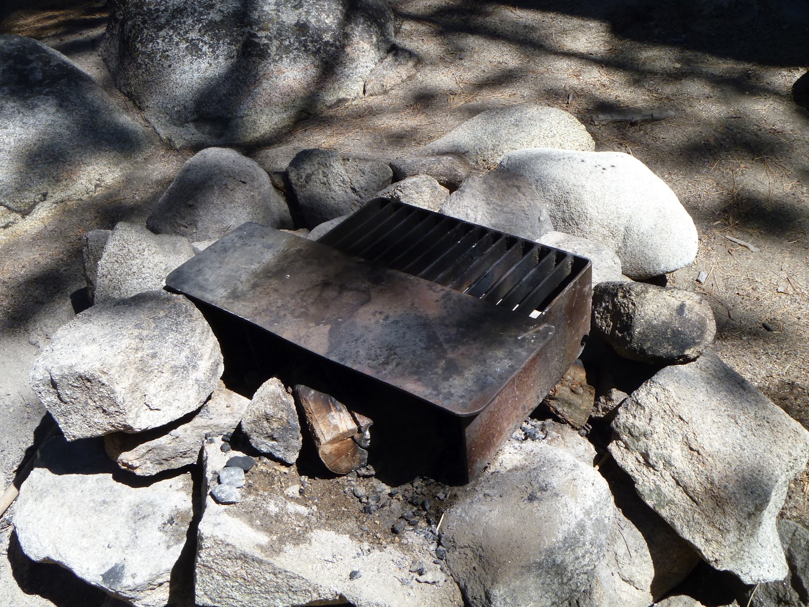
 Camping was primitive, but did have bathrooms. Here is the grill I used
 There was some flat area to camp, but lots of boulders
 Markleeville is a tiny town at the crossroads, classic small, rural California mountain town
 The county courthouse, which fits like 10 people. You have to walk in with the criminals when on the jury, it is from like 1877 or something
 The old county jail, so small